Claypole, Lincolnshire
Civil parishes in LincolnshireSouth Kesteven DistrictUse British English from October 2014Villages in Lincolnshire

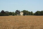
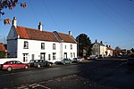
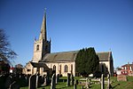
Claypole is a village and civil parish in the South Kesteven district of Lincolnshire, England. The population of the civil parish at the 2011 census was 1,382. It is situated 4 miles (6.4 km) south-east from the market town of Newark-on-Trent, just east of the Grantham to Newark stretch of the A1. The name Claypole is from the Old English 'clæg' and 'pol', for "clayey pool". The village is recorded in the Domesday Book as "Claipol" and as having a church, a priest and one mill.
Excerpt from the Wikipedia article Claypole, Lincolnshire (License: CC BY-SA 3.0, Authors, Images).Claypole, Lincolnshire
Swallow Drive, South Kesteven Claypole
Geographical coordinates (GPS) Address Nearby Places Show on map
Geographical coordinates (GPS)
| Latitude | Longitude |
|---|---|
| N 53.033333333333 ° | E -0.73333333333333 ° |
Address
Swallow Drive
Swallow Drive
NG23 5AY South Kesteven, Claypole
England, United Kingdom
Open on Google Maps


