Sint-Pieters-Leeuw

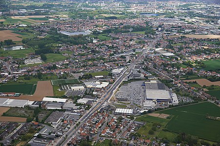
Sint-Pieters-Leeuw (Dutch pronunciation: [sɪnt ˌpitərs ˈleːu]; French: Leeuw-Saint-Pierre, pronounced [lø sɛ̃ pjɛʁ]) is a municipality in the province of Flemish Brabant, in the Flemish region of Belgium. The municipality comprises the towns of Oudenaken, Ruisbroek, Sint-Laureins-Berchem, Sint-Pieters-Leeuw proper and Vlezenbeek. Sint-Pieters-Leeuw is located just outside the Brussels-Capital Region, in the Payottenland. The municipality is a blend of parks, castles, meadows and gardens with the Coloma park as its green heart. On 1 January 2018, Sint-Pieters-Leeuw had a total population of 34,025. The total area is 40.38 km2 (15.59 sq mi), which gives a population density of 842/km2 (2,180/sq mi). It is a mostly a residential community with largely preserved rural areas and some industrial zones. The official language of Sint-Pieters-Leeuw is Dutch.
Excerpt from the Wikipedia article Sint-Pieters-Leeuw (License: CC BY-SA 3.0, Authors, Images).Sint-Pieters-Leeuw
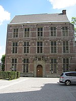
Ter Borcht,
Geographical coordinates (GPS) Address Nearby Places Show on map
Geographical coordinates (GPS)
| Latitude | Longitude |
|---|---|
| N 50.783333333333 ° | E 4.25 ° |
Address
Ter Borcht 20
1600 (Sint-Pieters-Leeuw)
Flemish Brabant, Belgium
Open on Google Maps


