Gormley, Ontario

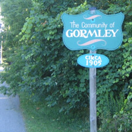
Gormley is a hamlet in York Region, Ontario, Canada that overlaps parts of Richmond Hill, and Whitchurch–Stouffville, two municipalities within the Greater Toronto Area. It was divided into two parts due to the construction of Highway 404. A portion of Gormley situated within Richmond Hill's political boundaries is subject to "Heritage Conservation District" controls. A post office in Gormley (East) serves as the mailing address for the Whitchurch–Stouffville communities of Bethesda, Gormley, Preston Lake, Vandorf, and Wesley Corners.Gormley Road East, on the south side of Stouffville Road, leads to Gormley Court and a dead-end at the railroad tracks. On the other side of the tracks, accessible by Leslie Street, is Gormley Road West. The community had a railway station until it was demolished in the early 1970s. Many of the houses are approximately 100 years old. The community celebrated its 100th anniversary in 2005.
Excerpt from the Wikipedia article Gormley, Ontario (License: CC BY-SA 3.0, Authors, Images).Gormley, Ontario
Stouffville Road,
Geographical coordinates (GPS) Address Nearby Places Show on map
Geographical coordinates (GPS)
| Latitude | Longitude |
|---|---|
| N 43.940833333333 ° | E -79.381944444444 ° |
Address
Stouffville Road 2217
L4A 2J4
Ontario, Canada
Open on Google Maps


