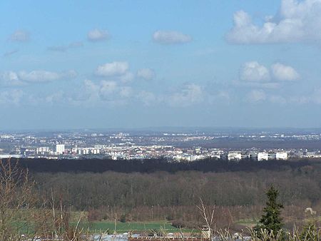
Achères, Yvelines
Communes of YvelinesPages including recorded pronunciationsPages with French IPAPages with disabled graphsYvelines geography stubs

Achères (French pronunciation: [aʃɛʁ] ) is a commune in the Yvelines department in north-central France. It is located 23.7 km (14.7 mi) from the centre of Paris. The commune of Achères lies on the south bank of the Seine in a loop of the river, on the edge of the Forest of Saint-Germain-en-Laye. It borders Saint-Germain-en-Laye and Poissy on the south, Andrésy and Carrières-sous-Poissy on the west, Conflans-Sainte-Honorine and Herblay on the north, and Maisons-Laffitte and La Frette-sur-Seine on the east. Inhabitants of Achères are called Achérois.
Excerpt from the Wikipedia article Achères, Yvelines (License: CC BY-SA 3.0, Authors, Images).Achères, Yvelines
Place du Marché, Saint-Germain-en-Laye
Geographical coordinates (GPS) Address Nearby Places Show on map
Geographical coordinates (GPS)
| Latitude | Longitude |
|---|---|
| N 48.9602 ° | E 2.0684 ° |
Address
Place du Marché
78260 Saint-Germain-en-Laye, La Petite-Arche
Ile-de-France, France
Open on Google Maps


