Ramsgate, New South Wales
Bayside CouncilBotany BayGeorges River CouncilSuburbs of SydneyUse Australian English from August 2019

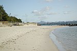
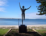
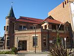
Ramsgate is a suburb in southern Sydney, in the state of New South Wales, Australia 16 km south of the Sydney central business district. It is part of the St George area. Divided by Rocky Point Road, part of Ramsgate to the east of Rocky Point Road is in the local government area of the Bayside Council, whilst properties to the west of Rocky Point Road are in the Georges River Council. Ramsgate Beach is a separate suburb, to the east. Ramsgate is surrounded by the suburbs of Ramsgate Beach, Monterey, Kogarah, Beverley Park and Sans Souci.
Excerpt from the Wikipedia article Ramsgate, New South Wales (License: CC BY-SA 3.0, Authors, Images).Ramsgate, New South Wales
Margate Street, Sydney Ramsgate
Geographical coordinates (GPS) Address Nearby Places Show on map
Geographical coordinates (GPS)
| Latitude | Longitude |
|---|---|
| N -33.98194 ° | E 151.14007 ° |
Address
Margate Street
Margate Street
2217 Sydney, Ramsgate
New South Wales, Australia
Open on Google Maps


