Lady Robinsons Beach

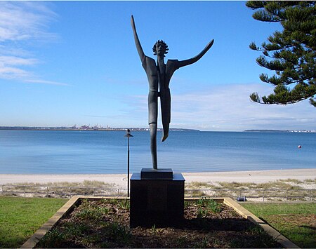
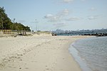
Lady Robinsons Beach is the stretch of beach between the mouth of the Cooks River and the mouth of Georges River on the western shore of Botany Bay in Sydney, New South Wales, Australia. Originally known as Seven Mile Beach, it was renamed after the wife of the then Governor, Sir Hercules Robinson. Isolated settlements separated from the beach by sand dunes were also given the name of Lady Robinson's Beach as their postal address. Being Sydney's longest beach, Lady Robinsons Beach is the eastern boundary of the area known as the St George District. It is also the eastern boundary of the Municipality of Rockdale and of the suburbs of Kyeemagh, Brighton-Le-Sands, Monterey, Ramsgate Beach, Sans Souci, Dolls Point and Sandringham.
Excerpt from the Wikipedia article Lady Robinsons Beach (License: CC BY-SA 3.0, Authors, Images).Lady Robinsons Beach
The Grand Parade, Sydney Monterey
Geographical coordinates (GPS) Address Nearby Places Show on map
Geographical coordinates (GPS)
| Latitude | Longitude |
|---|---|
| N -33.9754 ° | E 151.1509 ° |
Address
The Grand Parade
2217 Sydney, Monterey
New South Wales, Australia
Open on Google Maps


