Trumpington Road
Roads in CambridgeshireStreets in CambridgeTransport in CambridgeUse British English from August 2017

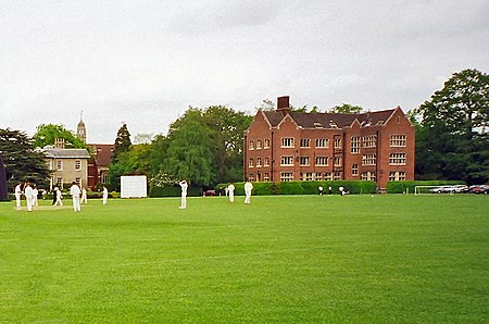
Trumpington Road is an arterial road (part of the A1134) in southeast central Cambridge, England. It runs between the junction of Trumpington Street and Lensfield Road at the northern end to the junction of the High Street in the village of Trumpington (the A1309) and Long Road at the southern end. The Fen Causeway leads off to the west near the northern end, over Coe Fen and the River Cam.There are several schools on Trumpington Road: The Leys School Mander Portman Woodward VI Form College The Perse Preparatory School St Faith's SchoolThe Cambridge University Botanic Garden is to the east of Trumpington Road.
Excerpt from the Wikipedia article Trumpington Road (License: CC BY-SA 3.0, Authors, Images).Trumpington Road
Trumpington Road, Cambridge Trumpington
Geographical coordinates (GPS) Address External links Nearby Places Show on map
Geographical coordinates (GPS)
| Latitude | Longitude |
|---|---|
| N 52.18871 ° | E 0.12177 ° |
Address
Trumpington Road
Trumpington Road
CB2 8AQ Cambridge, Trumpington
England, United Kingdom
Open on Google Maps


