Haggerston

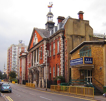
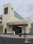
Haggerston is a locale in East London, England, centred approximately on Great Cambridge Street (now renamed Queensbridge Road). It is within the London Borough of Hackney and is considered to be a part of London's East End. It is about 3.1 miles (5 km) northeast of Charing Cross. The adjacent neighbourhoods are Dalston (to the north), Hoxton (to the west) and Bethnal Green (to the south east). Haggerston historically formed part of Shoreditch borough, and was divided into the following ecclesiastical parishes: All Saints, St Chad, St Columba, St Mary, St Paul, St Augustine, and St Stephen.In 1965, the Metropolitan Borough of Shoreditch became part of the new London Borough of Hackney. There is an electoral ward called Haggerston within the borough. In the 1990s a number of the area's more rundown housing estates were refurbished and some disused public buildings were privately converted into gated communities. In 2010, Haggerston Railway station re-opened, a little to the north of the original station.
Excerpt from the Wikipedia article Haggerston (License: CC BY-SA 3.0, Authors, Images).Haggerston
Kingsland Road, London Haggerston (London Borough of Hackney)
Geographical coordinates (GPS) Address Nearby Places Show on map
Geographical coordinates (GPS)
| Latitude | Longitude |
|---|---|
| N 51.53463 ° | E -0.07663 ° |
Address
Kingsland Road 230
E2 8AX London, Haggerston (London Borough of Hackney)
England, United Kingdom
Open on Google Maps


