Church Charwelton (lost settlement)
Deserted medieval villages in Northamptonshire

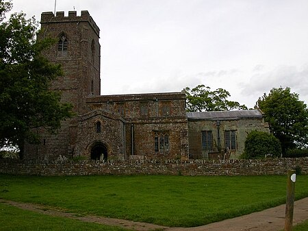
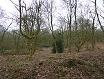
The lost village of Church Charwelton lies south-east of the village of Charwelton in the English county of Northamptonshire. Its site is on the north-east bank of the River Cherwell. The Jurassic Way long-distance footpath passes across the site.
Excerpt from the Wikipedia article Church Charwelton (lost settlement) (License: CC BY-SA 3.0, Authors, Images).Church Charwelton (lost settlement)
Charwelton Road,
Geographical coordinates (GPS) Address Nearby Places Show on map
Geographical coordinates (GPS)
| Latitude | Longitude |
|---|---|
| N 52.195277777778 ° | E -1.2044444444444 ° |
Address
Charwelton Road
NN11 3YX , Charwelton
England, United Kingdom
Open on Google Maps


