Brightwell Baldwin
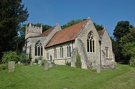
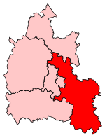
Brightwell Baldwin is a village and civil parish in Oxfordshire, about 4+1⁄2 miles (7 km) northeast of Wallingford. It was historically in the Hundred of Ewelme and is now in the District of South Oxfordshire. The 2011 Census recorded the parish's population as 208. The parish is roughly rectangular, about 2+1⁄2 miles (4 km) long north–south and about 1+1⁄4 miles (2 km) wide east–west. In 1848 the parish covered an area of 1,569 acres (635 ha). The B4009 road linking Benson and Watlington forms part of the southern boundary of the parish. The B480 road linking Oxford and Watlington forms a small part of its northern boundary. Rumbolds Lane forms much of its western boundary. For the remainder the parish is bounded largely by field boundaries.
Excerpt from the Wikipedia article Brightwell Baldwin (License: CC BY-SA 3.0, Authors, Images).Brightwell Baldwin
Cadwell Lane, South Oxfordshire
Geographical coordinates (GPS) Address Nearby Places Show on map
Geographical coordinates (GPS)
| Latitude | Longitude |
|---|---|
| N 51.651 ° | E -1.058 ° |
Address
Cadwell Lane
OX49 5PG South Oxfordshire
England, United Kingdom
Open on Google Maps
