Duncton

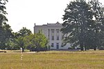
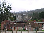
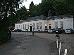
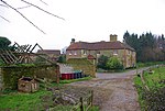
Duncton is a village and civil parish in the District of Chichester in West Sussex, England. The village is in the South Downs 3 miles (5 km) south of Petworth on the A285 road. The civil parish is about 4 miles (6 km) long north – south and less than 1 mile (1.6 km) wide east – west and has a land area of 800 ha (1,977 acres). The southern part of the parish includes part of Duncton Down, which is 682 feet (208 m) high. The 2011 Census recorded 345 people living in 182 households, of whom 177 were economically active. The village has a Church of England parish church, a Roman Catholic church. Duncton has a pub, a village hall and two croquet pitches. The parish includes Burton Park, whose stately home and parish church are about 1⁄2 mile (800 m) east of Duncton village. Duncton Mill at the foot of the South Downs escarpment was powered by a large spring flowing from the chalk strata. A stable flow of water at a constant temperature throughout the year is ideal for its present use as a trout hatchery.
Excerpt from the Wikipedia article Duncton (License: CC BY-SA 3.0, Authors, Images).Duncton
Willett Close, Chichester Duncton
Geographical coordinates (GPS) Address Nearby Places Show on map
Geographical coordinates (GPS)
| Latitude | Longitude |
|---|---|
| N 50.9467 ° | E -0.63461 ° |
Address
Willett Close
Willett Close
GU28 0LA Chichester, Duncton
England, United Kingdom
Open on Google Maps


