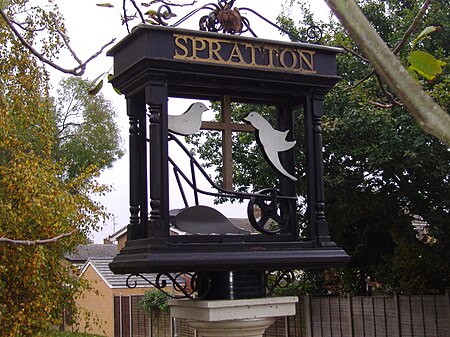
Spratton
Civil parishes in NorthamptonshireUse British English from March 2014Villages in NorthamptonshireWest Northamptonshire District

Spratton is a village and civil parish in the English county of Northamptonshire. The local government authority is West Northamptonshire. Before changes in 2021 it was governed by Daventry District Council. At the time of the 2001 census, the parish's population was 1,099 people, increasing to 1,150 at the 2011 Census. Spratton is 7.1 miles north of Northampton, 6.5 miles from Long Buckby and 11.4 miles from Daventry. The village is situated on the A5199 road. The village's name means 'Pole farm/settlement', either made of poles or perhaps a place where they were made or acquired.
Excerpt from the Wikipedia article Spratton (License: CC BY-SA 3.0, Authors, Images).Spratton
St. Lukes Close,
Geographical coordinates (GPS) Address Nearby Places Show on map
Geographical coordinates (GPS)
| Latitude | Longitude |
|---|---|
| N 52.3233 ° | E -0.9509 ° |
Address
St. Lukes Close
St. Lukes Close
NN6 8HS , Spratton
England, United Kingdom
Open on Google Maps


