Camberwell

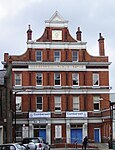
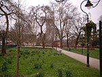
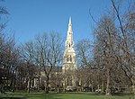
Camberwell () is a district of South London, England, in the London Borough of Southwark, 2+3⁄4 miles (4.5 kilometres) southeast of Charing Cross. Camberwell was first a village associated with the church of St Giles and a common of which Goose Green is a remnant. This early parish included the neighbouring hamlets of Peckham, Dulwich, Nunhead, and part of Herne Hill (the rest of Herne Hill was in the parish of Lambeth). Until 1889, it was part of the county of Surrey. In 1900 the original parish became the Metropolitan Borough of Camberwell. In 1965, most of the Borough of Camberwell was merged into the London Borough of Southwark. To the west, part of both West Dulwich and Herne Hill come under the London Borough of Lambeth. The place now known as Camberwell covers a much smaller area than the ancient parish, and it is bound on the north by Walworth; on the south by East Dulwich and Herne Hill; to the west by Kennington; and on the east by Peckham.
Excerpt from the Wikipedia article Camberwell (License: CC BY-SA 3.0, Authors, Images).Camberwell
Wren Road, London Camberwell (London Borough of Southwark)
Geographical coordinates (GPS) Address Nearby Places Show on map
Geographical coordinates (GPS)
| Latitude | Longitude |
|---|---|
| N 51.4736 ° | E -0.0912 ° |
Address
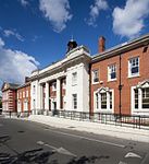
Camberwell Police Station
Wren Road 9
SE5 8QP London, Camberwell (London Borough of Southwark)
England, United Kingdom
Open on Google Maps


