Red Lodge, Suffolk
Civil parishes in SuffolkEngvarB from July 2016Forest HeathVillages in Suffolk

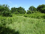
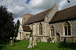
Red Lodge is a village and civil parish situated in rural Suffolk, England, between Mildenhall and Newmarket, and very close to the A11 and A14 roads.
Excerpt from the Wikipedia article Red Lodge, Suffolk (License: CC BY-SA 3.0, Authors, Images).Red Lodge, Suffolk
Rosemary Close, West Suffolk
Geographical coordinates (GPS) Address Nearby Places Show on map
Geographical coordinates (GPS)
| Latitude | Longitude |
|---|---|
| N 52.304 ° | E 0.493 ° |
Address
Rosemary Close
Rosemary Close
IP28 8TQ West Suffolk
England, United Kingdom
Open on Google Maps


