Merton, Norfolk
Breckland DistrictCivil parishes in NorfolkNorfolk geography stubsVillages in Norfolk

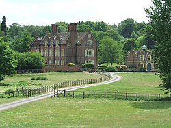
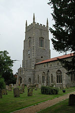
Merton is a civil parish in the English county of Norfolk. It covers an area of 5.94 km2 (2.29 sq mi) and had a population of 113 in 50 households at the 2001 census, increasing to a population of 133 in 56 households at the 2011 census. For the purposes of local government, it falls within the district of Breckland. The villages name means 'Pool farm/settlement'.Merton Hall is the home of Lord Walsingham. Its church, St Peter's, is one of 124 existing round-tower churches in Norfolk and is a Grade I listed building.
Excerpt from the Wikipedia article Merton, Norfolk (License: CC BY-SA 3.0, Authors, Images).Merton, Norfolk
The Green, Breckland District Merton
Geographical coordinates (GPS) Address Nearby Places Show on map
Geographical coordinates (GPS)
| Latitude | Longitude |
|---|---|
| N 52.554 ° | E 0.8116 ° |
Address
The Green
The Green
IP25 6QR Breckland District, Merton
England, United Kingdom
Open on Google Maps


