Filchampstead
Hamlets in OxfordshireOxfordshire geography stubs

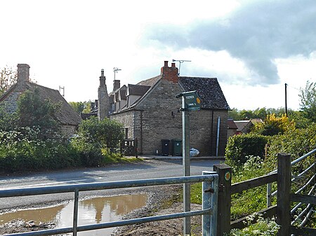
Filchampstead is a hamlet within Cumnor Parish, Oxfordshire. Until the 1974 boundary changes it was in Berkshire. It lies on the Cumnor Road (B4017) between Farmoor and Cumnor village, at the foot of a hill known locally as 'Tumbledown Dick'. Filchampstead lies alongside Farmoor Reservoir and the Oxford Green Belt Way public footpath.
Excerpt from the Wikipedia article Filchampstead (License: CC BY-SA 3.0, Authors, Images).Filchampstead
Lower Whitley Road, Vale of White Horse
Geographical coordinates (GPS) Address Nearby Places Show on map
Geographical coordinates (GPS)
| Latitude | Longitude |
|---|---|
| N 51.748611111111 ° | E -1.345 ° |
Address
Lower Whitley Road
Lower Whitley Road
OX2 9NU Vale of White Horse
England, United Kingdom
Open on Google Maps


