Ratcliff
History of local government in London (pre-1855)History of the London Borough of Tower HamletsLimehouseParishes united into districts (Metropolis)Port of London ... and 3 more
ShadwellStepneyUse British English from February 2015

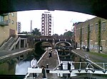
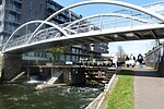
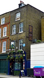
Ratcliff or Ratcliffe is a locality in the London Borough of Tower Hamlets. It lies on the north bank of the River Thames between Limehouse (to the east), and Shadwell (to the west). The place name is no longer commonly used.
Excerpt from the Wikipedia article Ratcliff (License: CC BY-SA 3.0, Authors, Images).Ratcliff
Branch Road, London Limehouse
Geographical coordinates (GPS) Address Nearby Places Show on map
Geographical coordinates (GPS)
| Latitude | Longitude |
|---|---|
| N 51.512054 ° | E -0.038946 ° |
Address
Berglen Court
Branch Road 7
E14 7JZ London, Limehouse
England, United Kingdom
Open on Google Maps


