Lockinge Estate
Housing estates in OxfordshireOxfordshire geography stubs

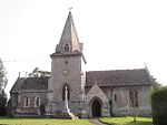
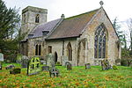
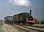
The Lockinge Estate is a 3,035-hectare (7,500-acre) agricultural and housing estate near Wantage that today includes most of the land and property encompassing the villages of West Lockinge, East Lockinge and Ardington. The current manager of the Lockinge Estate is Thomas Loyd. Almost the entire estate is included within the North Wessex Downs Area of Outstanding Natural Beauty (AONB). The ancient Icknield Way passed through the estate, as does the modern-day National Cycle Route 544.
Excerpt from the Wikipedia article Lockinge Estate (License: CC BY-SA 3.0, Authors, Images).Lockinge Estate
Well Street, Vale of White Horse
Geographical coordinates (GPS) Address Nearby Places Show on map
Geographical coordinates (GPS)
| Latitude | Longitude |
|---|---|
| N 51.59 ° | E -1.38 ° |
Address
Well Street
Well Street
OX12 8PF Vale of White Horse
England, United Kingdom
Open on Google Maps


