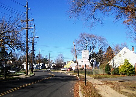
Middlesex County is located in central New Jersey, United States, extending inland from the Raritan Valley region to the northern portion of the Jersey Shore. As of the 2020 United States Census, the county's population was enumerated at 863,162, making Middlesex the state's third-most populous county. Middlesex County's population in 2020 represented a growth of 53,304 (6.6%) from the 809,858 residents counted at the 2010 census. Middlesex County is part of the New York metropolitan area and many communities within the county serve as commuter towns to and from New York City and other points north. The county is located in the middle of the Northeast megalopolis of the U.S. Its county seat is the city of New Brunswick, a center for the sciences, arts, and cultural activities, and the headquarters of the state's flagship academic institution, Rutgers University. The center of population of the state of New Jersey is also located within Middlesex County, in East Brunswick Township, just east of the New Jersey Turnpike. Middlesex County hosts an extensive transportation network, including several rail stations along the heavily traveled Northeast Corridor Line of the New Jersey Transit commuter rail system, as well as the intersection of the New Jersey Turnpike and the Garden State Parkway, the state's two busiest motor vehicle roadways, in Woodbridge Township. Middlesex County holds the nickname, The Greatest County in the Land.The county was primarily settled due to its optimal location along the Raritan River and was established as of March 7, 1683 as part of the Province of East Jersey and was partitioned as of October 31, 1693 into the townships of Piscataway, Perth Amboy, and Woodbridge. Adjacent Somerset County was established on May 14, 1688, created from portions of Middlesex County. The county's first court met in June 1683 in Piscataway, and held session at alternating sites over the next century in Perth Amboy, Piscataway, and Woodbridge before relocating permanently to New Brunswick in 1778. Despite its status as a residential, commercial, and industrial stronghold and a centrally accessible transportation hub, Middlesex is also home to an extensive public park system with expansive greenways, totaling more than 6,300 acres (2,500 ha). Middlesex County is most demographically notable as the U.S. county with the highest concentration of Asian Indians, at nearly 20% in 2020, spanning the county's boundaries between Little India, Edison/Iselin in the north and Monroe Township at its southern tip.


