Sibford
Oxfordshire geography stubsUse British English from August 2015Villages in Oxfordshire
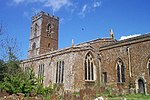
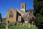
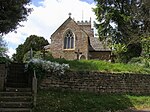
Sibford (or The Sibfords) is the collective name given to the villages of Sibford Gower, Sibford Ferris and Burdrop on the edge of the Cotswolds in north Oxfordshire. The villages are contiguous and sit on either side of the Sib Valley, close to the Warwickshire border. 'Sibford' is commonly used to refer to the group of settlements and outlying farms, and is the name of the Cherwell District Council ward for the area. The name means "fording place of the River Sib." The Sibfords share their amenities, with the village hall, pub and primary school located in Sibford Gower; the church in Burdrop; and the village shop and Sibford School located in Sibford Ferris.
Excerpt from the Wikipedia article Sibford (License: CC BY-SA 3.0, Authors).Sibford
Cherwell District
Geographical coordinates (GPS) Address Nearby Places Show on map
Geographical coordinates (GPS)
| Latitude | Longitude |
|---|---|
| N 52.047 ° | E -1.455 ° |
Address
OX15 5AD Cherwell District
England, United Kingdom
Open on Google Maps


