Burgh and Tuttington

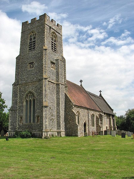
Burgh and Tuttington is a civil parish in the English county of Norfolk. It covers an area of 6.70 km2 (2.59 sq mi) and had a population of 255 in 115 households at the 2001 census, increasing to a population of 322 in 140 households at the 2011 Census. For the purposes of local government, it falls within the district of Broadland. The parish includes Burgh next Aylsham and Tuttington. Burgh next Aylsham has a grade I listed church dedicated to Mary, which features a notable fifteenth-century baptismal font. The church was restored in the late nineteenth century by Richard Phipson. Tuttington church of SS Peter and Paul is a grade II* listed building.
Excerpt from the Wikipedia article Burgh and Tuttington (License: CC BY-SA 3.0, Authors, Images).Burgh and Tuttington
Norwich Road, Broadland Burgh and Tuttington
Geographical coordinates (GPS) Address Nearby Places Show on map
Geographical coordinates (GPS)
| Latitude | Longitude |
|---|---|
| N 52.787295 ° | E 1.298618 ° |
Address
Norwich Road
Norwich Road
NR11 6AZ Broadland, Burgh and Tuttington
England, United Kingdom
Open on Google Maps


