Small Dole
Horsham DistrictVillages in West SussexWest Sussex geography stubs

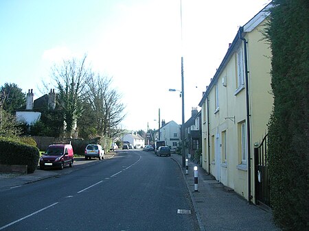
Small Dole is a village in the Horsham District of West Sussex, in England. It lies on the A2037 road two miles (3.2 km) south of Henfield. In the late 1970s the Church of England altered its ecclesiastical parish boundaries, transferring Small Dole from the parish of Upper Beeding (where the population at the 2011 Census is included) to the parish of Henfield. The civil parish boundary continues to use the older ecclesiastical boundary. Thus Small Dole is part of the civil parish of Upper Beeding and the ecclesiastical parish of Henfield, adding to the local feeling of being torn between the two larger communities.
Excerpt from the Wikipedia article Small Dole (License: CC BY-SA 3.0, Authors, Images).Small Dole
Shoreham Road,
Geographical coordinates (GPS) Address Nearby Places Show on map
Geographical coordinates (GPS)
| Latitude | Longitude |
|---|---|
| N 50.90365 ° | E -0.27403 ° |
Address
Shoreham Road
Shoreham Road
BN5 9YG
England, United Kingdom
Open on Google Maps


