Sussex Greensand Way
Archaeological sites in East SussexGeographic coordinate listsLists of coordinatesRoads in East SussexRoads in West Sussex ... and 2 more
Roman roads in EnglandUse British English from November 2017

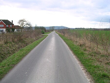
The Sussex Greensand Way is a Roman road that runs east-west linking the London to Lewes Way at Barcombe Mills to Stane Street at Hardham. The road, which has almost entirely fallen out of use, follows the free draining ridge of greensand which lies north of the South Downs. It is a planned route rather than a Romanised Iron Age track, following a few straight alignments without any steep gradients, which linked various north-south roads and tracks. A number of important Roman villas and their farming estates were linked by the road. It is not known at what time during the Roman period the road was built.
Excerpt from the Wikipedia article Sussex Greensand Way (License: CC BY-SA 3.0, Authors, Images).Sussex Greensand Way
Horn Lane,
Geographical coordinates (GPS) Address Nearby Places Show on map
Geographical coordinates (GPS)
| Latitude | Longitude |
|---|---|
| N 50.9139 ° | E -0.2502 ° |
Address
Horn Lane
Horn Lane
BN5 9SA
England, United Kingdom
Open on Google Maps


