Hartismere Rural District
Districts of England abolished by the Local Government Act 1972Districts of England created by the Local Government Act 1894History of SuffolkLocal government in SuffolkRural districts of England ... and 1 more
Use British English from August 2012

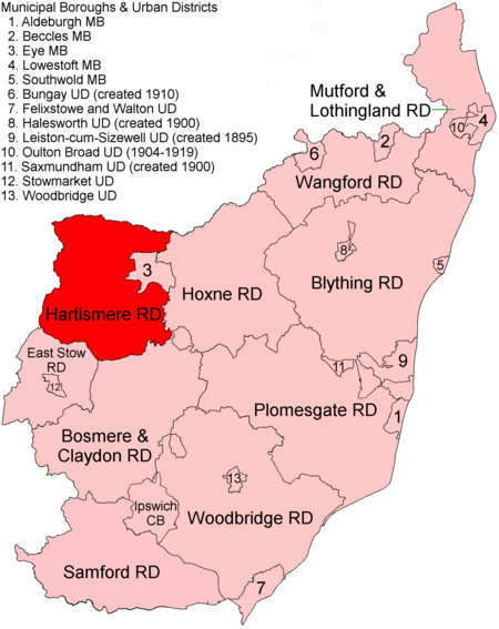
Hartismere Rural District was a rural district in the county of East Suffolk, England. It was expanded in 1934 by merging with the disbanded Hoxne Rural District with a slight readjustment of boundaries. It was named after the ancient Hundred of Hartismere and administered from Eye. Since 1 April 1974 it has formed part of the District of Mid Suffolk. At the time of its dissolution it consisted of 52 civil parishes.
Excerpt from the Wikipedia article Hartismere Rural District (License: CC BY-SA 3.0, Authors, Images).Hartismere Rural District
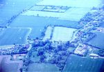
Cole Street, Mid Suffolk
Geographical coordinates (GPS) Address Nearby Places Show on map
Geographical coordinates (GPS)
| Latitude | Longitude |
|---|---|
| N 52.28 ° | E 1.27 ° |
Address
Cole Street
Cole Street
IP13 7NZ Mid Suffolk
England, United Kingdom
Open on Google Maps


