Liede
Europe river stubsGeography of HaarlemNetherlands geography stubsRivers of North HollandRivers of the Netherlands

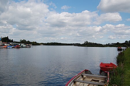
The Liede is a little river that used to connect Haarlem Lake with the Spaarne, just south of Spaarndam, at a small lake called the Mooie Nel. After the lake was pumped dry in 1852, the Liede became a side-river of the Ringvaart. The Liede and Mooie Nel are nowadays important for recreational boat sailing. There is also an ice-skating club called De Liede.
Excerpt from the Wikipedia article Liede (License: CC BY-SA 3.0, Authors, Images).Liede
Liedeweg, Haarlemmermeer
Geographical coordinates (GPS) Address Website Nearby Places Show on map
Geographical coordinates (GPS)
| Latitude | Longitude |
|---|---|
| N 52.3861 ° | E 4.6869 ° |
Address
Fort bij de Liebrug
Liedeweg
2065 AH Haarlemmermeer
North Holland, Netherlands
Open on Google Maps


