Division of Lalor
1949 establishments in AustraliaCity of WyndhamConstituencies established in 1949Electoral districts and divisions of Greater MelbourneElectoral divisions of Australia ... and 2 more
Use Australian English from September 2017Werribee, Victoria

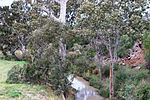
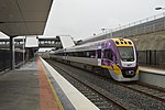
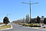
The Division of Lalor is an Australian Electoral Division in the state of Victoria. Located in the south-western suburbs of Melbourne, it includes the south-western hub of Werribee as well as the suburbs of Hoppers Crossing, Tarneit, Truganina, Wyndham Vale and part of Point Cook. At 9.0%, Lalor has the nation's highest proportion of children aged under 4 years old. It has the nation's lowest proportion of residents aged 65 and over (7.0%), is sixth highest nationally for families being couples with dependent children (44.4%), and has the sixth highest rate of residents purchasing their own homes (49.3%).
Excerpt from the Wikipedia article Division of Lalor (License: CC BY-SA 3.0, Authors, Images).Division of Lalor
Boundary Road, Melbourne Mount Cottrell
Geographical coordinates (GPS) Address Nearby Places Show on map
Geographical coordinates (GPS)
| Latitude | Longitude |
|---|---|
| N -37.796 ° | E 144.614 ° |
Address
Boundary Road
Boundary Road
Melbourne, Mount Cottrell
Victoria, Australia
Open on Google Maps


