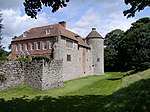
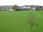
Stowting
Aviation accidents and incidents locations in EnglandBorough of AshfordKent geography stubsVillages in Kent
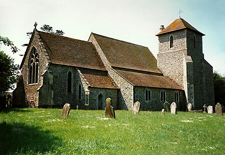
Stowting is a village and civil parish in the English county of Kent. It is 6 miles (9.7 km) east of Ashford, 7 miles (11 km) north-west of Folkestone and 10 miles (16 km) south of Canterbury.
Excerpt from the Wikipedia article Stowting (License: CC BY-SA 3.0, Authors, Images).Stowting
Pilgrims' Way, Folkestone and Hythe District
Geographical coordinates (GPS) Address Nearby Places Show on map
Geographical coordinates (GPS)
| Latitude | Longitude |
|---|---|
| N 51.133 ° | E 1.033 ° |
Address
Pilgrims' Way
Pilgrims' Way
TN25 6AZ Folkestone and Hythe District
England, United Kingdom
Open on Google Maps


