Upper Holloway
Areas of LondonLondon geography stubsUse British English from September 2015

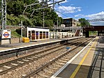
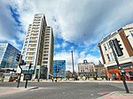
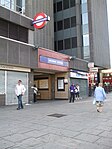
Upper Holloway is a district in the London Borough of Islington, London, centred on the upper part of Holloway Road and Junction Road. It is served by the Overground at Upper Holloway Station and the Northern Line at Archway Station.
Excerpt from the Wikipedia article Upper Holloway (License: CC BY-SA 3.0, Authors, Images).Upper Holloway
Elthorne Road, London Upper Holloway (London Borough of Islington)
Geographical coordinates (GPS) Address Website Nearby Places Show on map
Geographical coordinates (GPS)
| Latitude | Longitude |
|---|---|
| N 51.566 ° | E -0.131 ° |
Address
The Maya Centre
Elthorne Road
N19 4AF London, Upper Holloway (London Borough of Islington)
England, United Kingdom
Open on Google Maps


