Jezreel Valley railway

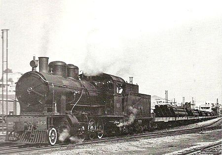
The Jezreel Valley railway, or the Valley Train (Hebrew: רַכֶּבֶת הָעֵמֶק, Rakevet HaEmek ; Arabic: خط سكة حديد حيفا – درعا, romanized: khaṭṭ sikkat ḥadīd Ḥayfa–Dar‘a) was a railroad that existed in Ottoman and British Palestine, reconstituted as a modern railway in Israel in the 21st century. It runs from the Mediterranean coast inland along the length of the Jezreel Valley. The historical line was a segment of the longer Haifa–Dera'a Line, which was itself a branch of the larger Hejaz railway. The historical Haifa–Dera'a line was built at the beginning of the 20th century and connected the Port of Haifa with the main part of the Hejaz railway, the Damascus–Medina line. Like the entire Hejaz railway, it was a 1,050 mm (3 ft 5+11⁄32 in) narrow gauge line. The last stop of the Haifa–Dera'a line within the Mandate Palestine borders was at al-Hamma, today Hamat Gader. Planning and construction took four years. The railway was inaugurated on October 15, 1905, and regular services operated on it until 1948. Despite several renewal attempts, the line lay dismantled for decades until 2011 when construction started on a large-scale project to build a new 1,435 mm (4 ft 8+1⁄2 in) standard gauge railway from Haifa to Beit She'an along roughly the same route as the historic valley railway. Israel Railways began passenger service on the new valley railway on October 16, 2016.
Excerpt from the Wikipedia article Jezreel Valley railway (License: CC BY-SA 3.0, Authors, Images).Jezreel Valley railway
Emek Izrael Regional Council
Geographical coordinates (GPS) Address Nearby Places Show on map
Geographical coordinates (GPS)
| Latitude | Longitude |
|---|---|
| N 32.638444 ° | E 35.228525 ° |
Address
מועצה אזורית עמק יזרעאל
3657700 Emek Izrael Regional Council
North District, Israel
Open on Google Maps


