West Harting
Villages in West SussexWest Sussex geography stubs
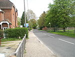
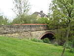
West Harting is a hamlet in the Chichester district of West Sussex, England. At the 2011 Census the population of the hamlet was included in the civil parish of Harting. It lies just off the B2146 road 2.4 miles (4 km) southeast of Petersfield and encompasses three additional houses which come under their own hamlet name of Quebec. All evidence suggests there was originally one main farm in the hamlet, named Manor Farm, which still exists to this day. However, there are several other farms which own the remainder of the land around West Harting in the hamlet's vicinity.
Excerpt from the Wikipedia article West Harting (License: CC BY-SA 3.0, Authors).West Harting
Hill Ash Lane, Chichester Harting
Geographical coordinates (GPS) Address Nearby Places Show on map
Geographical coordinates (GPS)
| Latitude | Longitude |
|---|---|
| N 50.9855 ° | E -0.88389 ° |
Address
Hill Ash Lane
Hill Ash Lane
GU31 5NY Chichester, Harting
England, United Kingdom
Open on Google Maps


