South Croydon
Areas of LondonDistricts of the London Borough of CroydonUse British English from September 2015

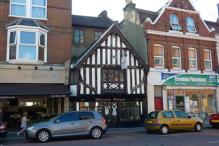
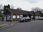
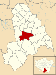
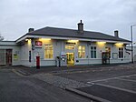
South Croydon in south London is the area surrounding the valley south of central Croydon and running as far south as the former Red Deer public house on the Brighton Road. It is bounded by Waddon to the West and Selsdon and Sanderstead to the East. It is part of the South Croydon (CR2) post town and in the London Borough of Croydon. It is essentially a dormitory suburb for Croydon and London.
Excerpt from the Wikipedia article South Croydon (License: CC BY-SA 3.0, Authors, Images).South Croydon
Bynes Road, London
Geographical coordinates (GPS) Address Phone number Website Nearby Places Show on map
Geographical coordinates (GPS)
| Latitude | Longitude |
|---|---|
| N 51.3532 ° | E -0.0962 ° |
Address
Purley Oaks Primary School
Bynes Road
CR2 0PR London (London Borough of Croydon)
England, United Kingdom
Open on Google Maps


