Sanderstead railway station
DfT Category D stationsFormer Croydon and Oxted Joint Railway stationsLondon stations without latest usage statistics 1415London stations without latest usage statistics 1516Rail transport stations in London fare zone 6 ... and 6 more
Railway stations in Great Britain opened in 1884Railway stations in the London Borough of CroydonRailway stations served by SouthernThameslink railway stationsUse British English from August 2012Vague or ambiguous time from May 2015

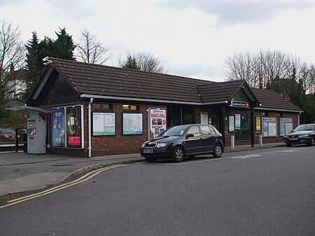
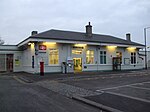
Sanderstead railway station is on the Oxted Line in the London Borough of Croydon, 1 mile (1.6 km) from Sanderstead village. It is in Travelcard Zone 6, 12 miles 23 chains (12.29 miles, 19.77 km) from London Bridge. The station is managed by Southern. On the up (London-bound) platform is a ticket office, staffed for most of the day, and a self-service ticket machine is outside the station on the up side: there is no PERTIS (Permit to travel) machine. Purley Oaks, also in Travelcard Zone 6, is nearby.
Excerpt from the Wikipedia article Sanderstead railway station (License: CC BY-SA 3.0, Authors, Images).Sanderstead railway station
Station Approach, London
Geographical coordinates (GPS) Address Nearby Places Show on map
Geographical coordinates (GPS)
| Latitude | Longitude |
|---|---|
| N 51.3484 ° | E -0.094 ° |
Address
Triumph
Station Approach
CR2 0PL London (London Borough of Croydon)
England, United Kingdom
Open on Google Maps


