Richmond Valley, Staten Island
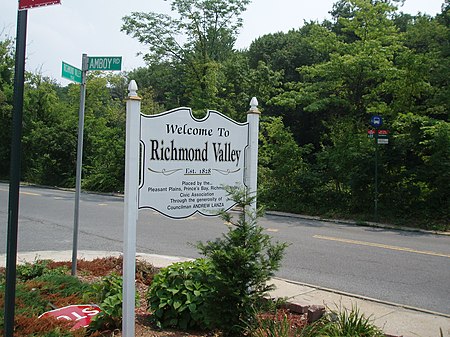
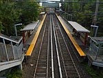
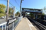
Richmond Valley is the name of a neighborhood located on the South Shore of Staten Island, one of the five boroughs of New York City, the largest city in the United States. Richmond Valley is bordered on the north by Pleasant Plains, to the south by Tottenville, to the west by the Arthur Kill, and to the east by the Lower New York Bay. Once considered part of Tottenville, Richmond Valley gained a separate identity when the Richmond Valley (Staten Island Railway station) was opened soon after the railroad was extended to Tottenville in 1860. Today the neighborhood is noted chiefly for being the site of the terminus, on the Staten Island side, of the Outerbridge Crossing, which connects the island to Perth Amboy, New Jersey, across the Arthur Kill. The neighborhood is represented in the New York State Senate by Andrew Lanza, in the New York State Assembly by Michael Reilly, and in the New York City Council by Joseph Borelli. All three are members of the Republican Party.
Excerpt from the Wikipedia article Richmond Valley, Staten Island (License: CC BY-SA 3.0, Authors, Images).Richmond Valley, Staten Island
Richmond Valley Road, New York Staten Island
Geographical coordinates (GPS) Address Nearby Places Show on map
Geographical coordinates (GPS)
| Latitude | Longitude |
|---|---|
| N 40.52 ° | E -74.229722222222 ° |
Address
Richmond Valley Road 26
10309 New York, Staten Island
New York, United States
Open on Google Maps
