Innere Stadt
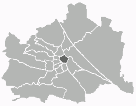
The Innere Stadt (German pronunciation: [ˈɪnərə ʃtat] (listen); Central Bavarian: Innare Stod) is the 1st municipal district of Vienna (German: 1. Bezirk) located in the center of the Austrian capital. The Innere Stadt is the old town of Vienna. Until the city boundaries were expanded in 1850, the Innere Stadt was congruent with the city of Vienna. Traditionally it was divided into four quarters, which were designated after important town gates: Stubenviertel (northeast), Kärntner Viertel (southeast), Widmerviertel (southwest), Schottenviertel (northwest).The Ringstraße circles the Innere Stadt along the route of the former city walls. The first district is, with a workforce of 100,745, the largest employment locale in Vienna. This is partially due to tourism, as well as the presence of many corporate headquarters due to the district's central location.
Excerpt from the Wikipedia article Innere Stadt (License: CC BY-SA 3.0, Authors, Images).Innere Stadt
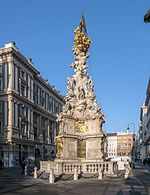
Petersplatz, Vienna Innere Stadt
Geographical coordinates (GPS) Address Nearby Places Show on map
Geographical coordinates (GPS)
| Latitude | Longitude |
|---|---|
| N 48.209722222222 ° | E 16.37 ° |
Address
Petersplatz
1010 Vienna, Innere Stadt
Austria
Open on Google Maps

