Rijnwoude

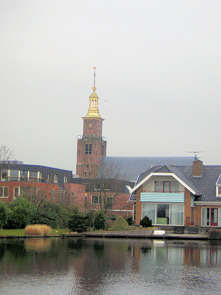
Rijnwoude (Dutch pronunciation: [ˈrɛinˌʋʌudə] (listen)) was a municipality in the western Netherlands, in the province of South Holland. The municipality covered an area of 57.89 km2 (22.35 sq mi) of which 1.20 km2 (0.46 sq mi) was water. Rijnwoude was formed in 1991 as Rijneveld through the merger of the former municipalities of Benthuizen, Hazerswoude and Koudekerk aan den Rijn. In 1993 the municipality was renamed to Rijnwoude. In 2014 the municipality was dissolved and its land area was amalgamated into Alphen aan den Rijn. The municipality of Rijnwoude consisted of the communities Benthorn, Benthuizen, Hazerswoude-Dorp, Groenendijk, Hazerswoude-Rijndijk (location of town hall), Hogeveen, and Koudekerk aan den Rijn.
Excerpt from the Wikipedia article Rijnwoude (License: CC BY-SA 3.0, Authors, Images).Rijnwoude
Hondsdijk, Alphen aan den Rijn
Geographical coordinates (GPS) Address Nearby Places Show on map
Geographical coordinates (GPS)
| Latitude | Longitude |
|---|---|
| N 52.133333333333 ° | E 4.5833333333333 ° |
Address
Hondsdijk
Hondsdijk
2396 HA Alphen aan den Rijn
South Holland, Netherlands
Open on Google Maps


