Battle, East Sussex
Battle, East SussexCivil parishes in East SussexEngvarB from June 2016Market towns in East SussexNorman conquest of England ... and 2 more
Rother DistrictTowns in East Sussex

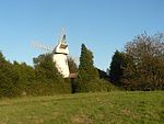
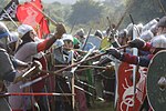
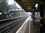
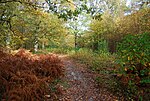
Battle is a town and civil parish in the district of Rother in East Sussex, England. It lies 50 miles (80 km) south-east of London, 27 miles (43 km) east of Brighton and 20 miles (32 km) east of Lewes. Hastings is to the south-east and Bexhill-on-Sea to the south. Battle is in the designated High Weald Area of Outstanding Natural Beauty. The parish population was 6,048 according to the 2001 census, increasing to 6,673 with the 2011 Census. Battle is near the site of, and named after, the Battle of Hastings, where William, Duke of Normandy, defeated King Harold II to become William I of England in 1066.
Excerpt from the Wikipedia article Battle, East Sussex (License: CC BY-SA 3.0, Authors, Images).Battle, East Sussex
Wellington Gardens, Rother Battle
Geographical coordinates (GPS) Address Nearby Places Show on map
Geographical coordinates (GPS)
| Latitude | Longitude |
|---|---|
| N 50.92 ° | E 0.48 ° |
Address
Wellington Gardens 29
TN33 0HD Rother, Battle
England, United Kingdom
Open on Google Maps


