Holme Circle, Philadelphia
Neighborhoods in PhiladelphiaNortheast PhiladelphiaPhiladelphia stubs

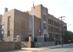
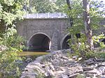
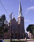
Holme Circle is a neighborhood in Northeast Philadelphia. It is located in the loop of Pennypack Creek at Holme Avenue and Welsh Road. The area is generally composed of two-story twin homes north of the Holme Circle (Walnut Hill, Axe Factory and Manchester Streets—built 1959–1964), one-story twins southeast of the Circle (Colfax, Draper and Albion Streets—built around 1962) and single homes south of Welsh Road and Holme Avenue (Winchester Park—Stamford, Hargrave, Lenola and Martindale Streets—built 1951–1955). St Jerome Parish serves the area; the Robert B. Pollock Elementary School is at Welsh Road and Tolbut Street. The neighborhood is named after Thomas Holme.
Excerpt from the Wikipedia article Holme Circle, Philadelphia (License: CC BY-SA 3.0, Authors, Images).Holme Circle, Philadelphia
Holme Avenue, Philadelphia
Geographical coordinates (GPS) Address Nearby Places Show on map
Geographical coordinates (GPS)
| Latitude | Longitude |
|---|---|
| N 40.057 ° | E -75.023 ° |
Address
Holme Avenue
Holme Avenue
19114 Philadelphia
Pennsylvania, United States
Open on Google Maps


