Rengerskerke en Zuidland
Former municipalities of ZeelandHistory of Schouwen-DuivelandZeeland geography stubs
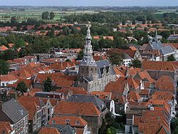
Rengerskerke en Zuidland is a former municipality in the Dutch province of Zeeland. It existed until 1813, when it was merged with Kerkwerve.The municipality consisted of two domains, Rengerskerke and Zuidland. Rengerskerke used to be a village about 3 km northwest of Zierikzee, until it was destroyed by a flood in 1662. Zuidland was a polder with a number of villages: Simonskerke, Zuidkerke, Brieskerke, Sint Jacobskerke and the hamlet of 's Heer-Arentshaven. All of the villages were destroyed by floods in the 16th century. In the 19th century, the remaining part of Rengerskerke and Zuidland had a population of only 120.
Excerpt from the Wikipedia article Rengerskerke en Zuidland (License: CC BY-SA 3.0, Authors).Rengerskerke en Zuidland
Provincialeweg, Schouwen-Duiveland
Geographical coordinates (GPS) Address Nearby Places Show on map
Geographical coordinates (GPS)
| Latitude | Longitude |
|---|---|
| N 51.669166666667 ° | E 3.8694444444444 ° |
Address
Provincialeweg
Provincialeweg
4321 SM Schouwen-Duiveland
Zeeland, Netherlands
Open on Google Maps


