Withernwick
Civil parishes in the East Riding of YorkshireEast Riding of Yorkshire geography stubsHoldernessOpenDomesdayUse British English from June 2015 ... and 1 more
Villages in the East Riding of Yorkshire

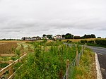
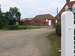
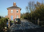
Withernwick is a village and civil parish in the East Riding of Yorkshire, England. It is situated approximately 10 miles (16 km) north-east of Hull city centre and 5 miles (8 km) south of Hornsea. According to the 2011 UK census, Withernwick parish had a population of 453, a reduction on the 2001 UK census figure of 474. The parish church of St Alban is a Grade II listed building.Over the past few years the village has been in decline, having lost its post office, school, Methodist chapel and village hall.
Excerpt from the Wikipedia article Withernwick (License: CC BY-SA 3.0, Authors, Images).Withernwick
Aldbrough Road,
Geographical coordinates (GPS) Address Nearby Places Show on map
Geographical coordinates (GPS)
| Latitude | Longitude |
|---|---|
| N 53.847169 ° | E -0.184436 ° |
Address
Aldbrough Road
Aldbrough Road
HU11 4TG , Withernwick
England, United Kingdom
Open on Google Maps


