Hatfield, East Riding of Yorkshire
Civil parishes in the East Riding of YorkshireEast Riding of Yorkshire geography stubsUse British English from November 2017

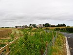
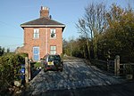
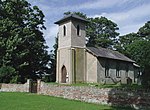
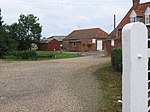
Hatfield is a civil parish in the East Riding of Yorkshire, England. It is situated 3 miles (5 km) to the south-west of Hornsea town centre and covering an area of 1,336.789 hectares (3,303.28 acres).The civil parish was formed in 1935 from the merger of the parishes of Great Hatfield, Goxhill and Little Hatfield.According to the 2011 UK census, Hatfield parish had a population of 249, a decrease on the 2001 UK census figure of 258.
Excerpt from the Wikipedia article Hatfield, East Riding of Yorkshire (License: CC BY-SA 3.0, Authors, Images).Hatfield, East Riding of Yorkshire
Main Street,
Geographical coordinates (GPS) Address Nearby Places Show on map
Geographical coordinates (GPS)
| Latitude | Longitude |
|---|---|
| N 53.866666666667 ° | E -0.2 ° |
Address
Main Street
Main Street
HU11 4UT , Hatfield
England, United Kingdom
Open on Google Maps


