Blüemlisalp
Alpine three-thousandersBernese AlpsMountains of SwitzerlandMountains of the AlpsMountains of the canton of Bern
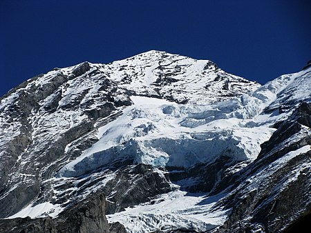
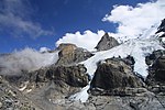
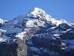
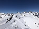
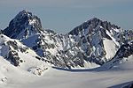
The Blüemlisalp is a massif of the Bernese Alps, in the territory of the municipalities of Kandersteg and Reichenbach im Kandertal. Its main peaks are: Blüemlisalphorn (3,661 m) Wyssi Frau (3,648 m) 46°29′35″N 7°47′0″E Morgenhorn (3,623 m) 46°29′46″N 7°47′28″EThe entire massif is contained within the canton of Berne, as it lies north of the main crest and water divide of the Bernese Alps. To the west, it is connected with the Doldenhorn group via the Oeschinenhorn and Fründenhorn peaks; to the east, it is continued by the Gspaltenhorn. To the south, it is connected to the main crest by the Tschingel Pass. Ascent is from the Blüemlisalphütte (2,840 m), over the glacier, past the Wildi Frau (3,260 m)
Excerpt from the Wikipedia article Blüemlisalp (License: CC BY-SA 3.0, Authors, Images).Blüemlisalp
Geographical coordinates (GPS) Address Nearby Places Show on map
Geographical coordinates (GPS)
| Latitude | Longitude |
|---|---|
| N 46.488611111111 ° | E 7.7716666666667 ° |
Address
Kandersteg
3718
Bern, Switzerland
Open on Google Maps
