Trealaw
AC with 0 elementsCommunities in Rhondda Cynon TafVillages in Rhondda Cynon TafWards of Rhondda Cynon Taf

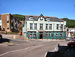
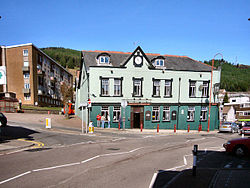
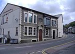
Trealaw is a long village, also a community and electoral ward in the Rhondda Valley, Rhondda Cynon Taf, Wales. It stretches over two miles from the junction of Cemetery Road and Brithweunydd Road in the east, to the junction of Ynyscynon Road and Partridge Road to the northwest.
Excerpt from the Wikipedia article Trealaw (License: CC BY-SA 3.0, Authors, Images).Trealaw
Miskin Road,
Geographical coordinates (GPS) Address Nearby Places Show on map
Geographical coordinates (GPS)
| Latitude | Longitude |
|---|---|
| N 51.6236 ° | E -3.451086 ° |
Address
Miskin Road
Miskin Road
CF40 2QN
Wales, United Kingdom
Open on Google Maps


