Sourland Mountain
Igneous intrusionsIgneous petrology of New JerseyJurassic magmatismLandforms of Hunterdon County, New JerseyLandforms of Mercer County, New Jersey ... and 5 more
Landforms of Somerset County, New JerseyMafic intrusionsRidges of New JerseyTriassic magmatismVolcanoes of the United States

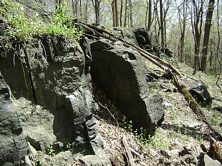
Sourland Mountain is a 17 miles (27 km) long ridge in central New Jersey, U.S., extending from the Delaware River at Lambertville to the western end of Hillsborough Township near the community of Neshanic, through Montgomery Township and into Hopewell Township in Mercer County. It comprises the largest contiguous forest in Central Jersey, nearly 90 square miles (233 km2) in area. The highest point is only 568 feet (173 m) above sea level, but the way it rises steeply from the surrounding farmland has earned it the title of 'mountain'. The ridge itself sits within a larger area of rough terrain called The Sourlands.
Excerpt from the Wikipedia article Sourland Mountain (License: CC BY-SA 3.0, Authors, Images).Sourland Mountain
Zion Road,
Geographical coordinates (GPS) Address Nearby Places Show on map
Geographical coordinates (GPS)
| Latitude | Longitude |
|---|---|
| N 40.479152777778 ° | E -74.710980555556 ° |
Address
Zion Road 305
08844
New Jersey, United States
Open on Google Maps


