Castilla–La Mancha

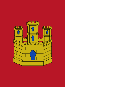
Castilla–La Mancha (UK: , US: , Spanish: [kasˈtiʎa la ˈmantʃa] ) is an autonomous community of Spain. Comprising the provinces of Albacete, Ciudad Real, Cuenca, Guadalajara and Toledo, it was created in 1982. The government headquarters are in Toledo, which is the capital de facto. It is a landlocked region largely occupying the southern half of the Iberian Peninsula's Inner Plateau, including large parts of the catchment areas of the Tagus, the Guadiana and the Júcar, while the northeastern relief comprises the Sistema Ibérico mountain massif. It is one of the most sparsely populated of Spain's regions, with Albacete, Guadalajara, Toledo, Talavera de la Reina and Ciudad Real being the largest cities. Castilla–La Mancha is bordered by Castile and León, Madrid, Aragon, Valencia, Murcia, Andalusia, and Extremadura. Prior to its establishment as an autonomous community, its territory was part of the New Castile (Castilla la Nueva) region along with the province of Madrid, except for Albacete province, which was part of the former Murcia region.
Excerpt from the Wikipedia article Castilla–La Mancha (License: CC BY-SA 3.0, Authors, Images).Castilla–La Mancha
Avenida de Castilla-La Mancha, Toledo Santa Bárbara
Geographical coordinates (GPS) Address Nearby Places Show on map
Geographical coordinates (GPS)
| Latitude | Longitude |
|---|---|
| N 39.866666666667 ° | E -4.0166666666667 ° |
Address
Avenida de Castilla-La Mancha
45003 Toledo, Santa Bárbara
Castile-La Mancha, Spain
Open on Google Maps


