West Dulwich
All pages needing cleanupAreas of LondonDistricts of the London Borough of LambethDistricts of the London Borough of SouthwarkDulwich ... and 1 more
Use British English from September 2015

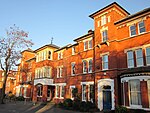
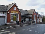
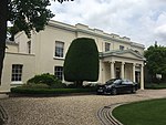
West Dulwich ( DUL-itch) is a district in South London, which straddles the London Borough of Lambeth and the London Borough of Southwark. Croxted Road and South Croxted Road mark the boundary between Southwark to the east and Lambeth to the west. The suburb of West Dulwich dates back to the 17th century when the often flooded land known as Dulwich Common was acquired and drained by Edward Alleyn's estate. West Dulwich has two main parades of shops, the main one being on the Park Hall road junction, where Croxted Road becomes South Croxted Road and the other on Rosendale Road.
Excerpt from the Wikipedia article West Dulwich (License: CC BY-SA 3.0, Authors, Images).West Dulwich
Bowen Drive, London Dulwich (London Borough of Southwark)
Geographical coordinates (GPS) Address Nearby Places Show on map
Geographical coordinates (GPS)
| Latitude | Longitude |
|---|---|
| N 51.43333 ° | E -0.08333 ° |
Address
Bowen Drive
SE21 8PN London, Dulwich (London Borough of Southwark)
England, United Kingdom
Open on Google Maps


