Churchlands, Western Australia
Perth, Western Australia geography stubsSuburbs in the City of StirlingSuburbs of Perth, Western AustraliaUse Australian English from March 2014
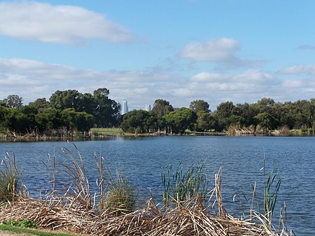
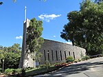
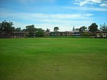
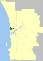
Churchlands is a suburb of Perth, Western Australia approximately 8 km north-west of the central business district; it lies within the local government area of the City of Stirling. Churchlands is an expensive suburb with most homes built after the 1980s. Its post code is 6018.
Excerpt from the Wikipedia article Churchlands, Western Australia (License: CC BY-SA 3.0, Authors, Images).Churchlands, Western Australia
Tuscany Way, City Of Stirling
Geographical coordinates (GPS) Address Nearby Places Show on map
Geographical coordinates (GPS)
| Latitude | Longitude |
|---|---|
| N -31.922 ° | E 115.79 ° |
Address
Newman College
Tuscany Way
6015 City Of Stirling, Churchlands
Western Australia, Australia
Open on Google Maps


