Clontarf, New South Wales
Northern Beaches CouncilSuburbs of SydneySydney geography stubsUse Australian English from August 2019

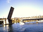
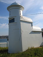
Clontarf (Irish: Cluain Tarbh, meaning "meadow of the bull") is a suburb of northern Sydney, in the state of New South Wales, Australia. Clontarf is located 13 kilometres north-east of the Sydney central business district in the local government area of Northern Beaches Council, in the Northern Beaches region.
Excerpt from the Wikipedia article Clontarf, New South Wales (License: CC BY-SA 3.0, Authors, Images).Clontarf, New South Wales
Monash Crescent, Sydney Clontarf
Geographical coordinates (GPS) Address Nearby Places Show on map
Geographical coordinates (GPS)
| Latitude | Longitude |
|---|---|
| N -33.80834 ° | E 151.25342 ° |
Address
Monash Crescent
Monash Crescent
2093 Sydney, Clontarf
New South Wales, Australia
Open on Google Maps


