Santa Coloma de Gramenet
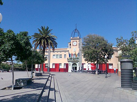
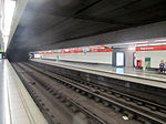
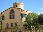
Santa Coloma de Gramenet (Catalan pronunciation: [ˈsantə kuˈlomə ðə ɣɾəməˈnɛt]) informally simply known as Santa Coloma (in Spanish: Santa Coloma de Gramanet, historically also known as Gramenet de Besòs) is a municipality in Catalonia, Spain. It is situated on the south-east side of the Litoral range, with the Puig Castellar (299 m) as its highest point, on the left bank of the Besòs river: the municipalities of Sant Adrià de Besòs and Badalona separate it from the coast. It's the ninth most populated city in Catalonia. The area has been inhabited since at least the Iberic period, and the remains of an Iberic village have been found on Puig Castellar. The artefacts are housed in a museum in La Torre Balldovina, a building dating from the 18th century. Other notable buildings include the renaissance palace of La Torre Pallaresa and the noucentista Clínica Mental. In November 2008, the city made worldwide news by installing solar panels on top of crypts in the local cemetery, in an effort to help fight climate change.
Excerpt from the Wikipedia article Santa Coloma de Gramenet (License: CC BY-SA 3.0, Authors, Images).Santa Coloma de Gramenet
Carrer del Masnou, Santa Coloma de Gramenet
Geographical coordinates (GPS) Address Nearby Places Show on map
Geographical coordinates (GPS)
| Latitude | Longitude |
|---|---|
| N 41.454 ° | E 2.211 ° |
Address
Carrer del Masnou 31
08921 Santa Coloma de Gramenet
Catalonia, Spain
Open on Google Maps

