Carrollton, New Orleans

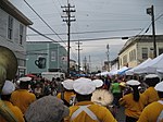
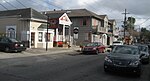
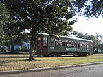
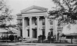
Carrollton is a historic neighborhood of Uptown New Orleans, Louisiana, USA, which includes the Carrollton Historic District, recognized by the Historic District Landmark Commission. It is the part of Uptown New Orleans farthest upriver while still being easily accessible to the French Quarter. It was historically a separate town, laid out in 1833 and incorporated on March 10, 1845. Carrollton was annexed by New Orleans in 1874 (becoming the city's 16th and 17th Wards), but it has long retained some elements of distinct identity. Historically the boundaries of the city of Carrollton were the Mississippi River, the downriver border of Jefferson Parish, Louisiana, Fig Street, and Lowerline Street. The area on the river side of Claiborne Avenue is sometimes referred to as "Old Carrollton". The incorporation of Carrollton created an apparent anomaly in New Orleans street names; Lowerline is upriver from Upperline Street, which was originally the upriver boundary of another suburb annexed in the 1850s.
Excerpt from the Wikipedia article Carrollton, New Orleans (License: CC BY-SA 3.0, Authors, Images).Carrollton, New Orleans
Green Street, New Orleans Hollygrove
Geographical coordinates (GPS) Address Nearby Places Show on map
 Continue reading on Wikipedia
 Geographical coordinates (GPS)
| Latitude | Longitude |
|---|---|
| N 29.952222222222 ° | E -90.127222222222 ° |
Address
Green Street 8221
70118 New Orleans, Hollygrove
Louisiana, United States
Open on Google Maps