King's Cliffe
Civil parishes in NorthamptonshireNorth NorthamptonshireUse British English from March 2014Villages in Northamptonshire

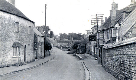
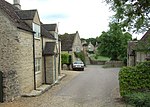
King's Cliffe (variously spelt Kings Cliffe, King's Cliff, Kings Cliff, Kingscliffe) is a village and civil parish on Willow Brook, a tributary of the River Nene, about 9 miles (14 km) northeast of Corby in North Northamptonshire. The parish adjoins the county boundary with the City of Peterborough and the village is about 12 miles (19 km) west of the city centre. The village is not far from the boundary with Lincolnshire and about 6 miles (10 km) south of Stamford.
Excerpt from the Wikipedia article King's Cliffe (License: CC BY-SA 3.0, Authors, Images).King's Cliffe
Willow Lane,
Geographical coordinates (GPS) Address Nearby Places Show on map
Geographical coordinates (GPS)
| Latitude | Longitude |
|---|---|
| N 52.566 ° | E -0.519 ° |
Address
Willow Lane
Willow Lane
PE8 6XT , King's Cliffe
England, United Kingdom
Open on Google Maps


